

Marae are central hubs for whānau, hapū, and iwi across Aotearoa New Zealand. But beyond their cultural and social importance, PhD researcher Haukapuanui Vercoe (Te Arawa, Tūwharetoa, Raukawa, Te Āti Haunui-a-Pāpārangi, Ngāti Kahungunu, Ngāti Pāhauwera, Ngāi Tahu) says marae often serve as frontline centres of civil defence during flooding, earthquakes, tsunamis, and other natural hazards.
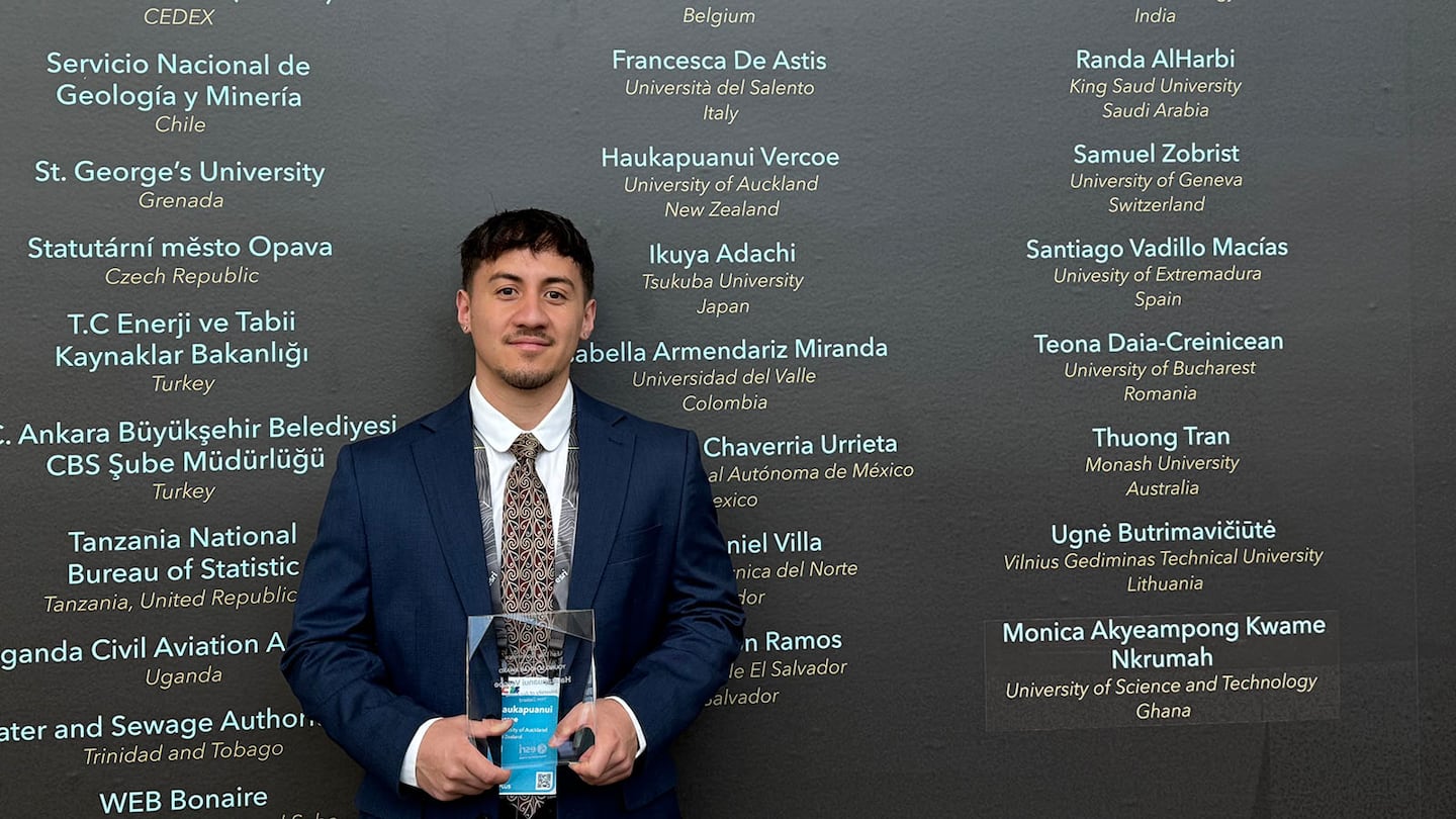
Vercoe’s groundbreaking research, ‘Adaptations of Marae for Natural Hazards Resilience’, has earned him the prestigious 2025 New Zealand Esri Young Scholar Award, sponsored by Eagle Technology. The award recognises emerging researchers using GIS (or Geographic Information Systems) and spatial science to address real-world challenges.
As part of this recognition, Vercoe represented Aotearoa at the Esri User Conference in San Diego, US.
His research brings together civil engineering, geospatial science, and Mātauranga Māori. By combining spatial analysis with kaupapa Māori methodologies, Vercoe has assessed the exposure of 835 marae to natural hazards and identified strategies to strengthen community resilience.
Key findings show that in a 100-year hazard event:
- Five percent of marae are exposed to coastal flooding and tsunami inundation
- 40 percent would experience a potentially damaging shaking in an earthquake
- 20 percent could be affected by liquefaction
- 45 percent sit within flood zones
Overall, two-thirds (67 percent) of marae are exposed to at least one hazard, while one-third (33 percent) are not.
The most at-risk marae face up to four different hazards – a total of 10 marae across the motu.
“Because GIS and mapping are universal languages, we should be harnessing this technology more in our Māori communities to communicate information,” says Vercoe.

“They say a picture is worth 1,000 words – but a map is worth 10,000.”
His research underlines the vital role marae already play in response, recovery and relief efforts during natural disasterssuch as the Canterbury earthquakes and Cyclone Gabrielle.
“Indigenous populations, including Māori, are disproportionately affected by natural hazards and climate change,” he says.
“Marae open their doors at their own expense to support not just their people, but the wider community.
“My hope is that this research strengthens recognition of marae contributions and leads to greater government support for marae infrastructure and climate resilience. They already do a tremendous job – imagine what more could be achieved with proper resourcing.”
Sharing Māori solutions with the world
Vercoe says taking this kaupapa to an international audience was “deeply meaningful”.
“Representing our whānau, hapū, iwi and marae on the global stage was a privilege and an opportunity to share the uniqueness of our culture with the world. From my perspective, this award is from and for the people. Ehara taku toa i te toa takitahi, engari he toa takitini.”
At the Esri User Conference, Vercoe presented a poster on his research and connected with Indigenous communities and GIS leaders worldwide. He also explored emerging applications of GIS, including artificial intelligence for faster, more accurate spatial analysis.
Recent milestones in his work include:
- Completion of a national marae multi-hazard exposure assessment
- Publication of a journal article on culturally grounded engagement with Te Arawa marae
- Research cited in the Waitangi Tribunal Climate Change Inquiry (Wai 3325)
- Continued advancement of community-led, culturally informed resilience research
Vercoe attributes his research approach to his upbringing.
“My time in kōhanga reo and kura kaupapa Māori taught me simple but powerful lessons – like mihi to the hau kāinga, doing karakia, taking kai and koha to hui, and understanding tikanga around when to talk, when to listen, and even the importance of ‘tea-towel-tanga’,” he says.
“Being a pā kid has shaped my ability to engage meaningfully with marae, which has been central to the success of this project.”
By Te Rina Triponel of Waipapa Taumata Rau - University of Auckland